July 2019
 In this second part of our ramble through Quindío Department we’re going a bit further afield to the southeastern edge of the area. I’ll also give you the lowdown on my coffee farm hotel experience so you get an idea about that accommodation option here in the Coffee Triangle — it’s all the rage and has everything to recommend it as long as you choose strategically. The towns involved are Córdoba and Pijao, the latter of which is touted as a tourist destination but that claim needs some contextualization in my opinion, since the videobloggers on YouTube will lead you down the garden path. Just saying …
I’m giving you the straight dope here, no glossing over the dodgy bits. You can trust your Intrepid Tourist to give you the skinny when the going gets tough. And trust me, Bridget, when you’re driving around in Colombia, dodgy is never far away. I live to tell the tale but I suspect the number of gray hairs on my head increased slightly during the trip. You pays your money and you takes your chances, isn’t that how the saying goes?
But there are such wondrous landscapes to see in the going and coming that it’s all worth it. I hope to show some of that loveliness in the pics for this post. I operated under the usual meteorological handicap that follows me around like a faithful dog, but being the plucky fellow I am I took it in stride and turned lemons into lemonade to the best of my ability.
The second day of my trip was supposed to start with a tour of the Jardín Botánico del Quindío (= Quindío Botanical Garden) on the outskirts of Calarcá. As I mentioned in part 1, rain put paid to that notion. I did drive by the facility and it looks inviting, so I’ll keep it on the list for the next visit I make to the Armenia area. It’s a relatively easy get from Armenia, since in the States Calarcá would qualify as one of Armenia’s suburbs, it’s that close.
When I walked from my room at the coffee farm hotel to the open area near the entrance I surveyed the sky for signs of blue. Weather is so localized in the Coffee Triangle that it can pour down buckets in one place and 10 km away be sunny as you please. I saw that moving south would likely bring me into better weather, so in a moment the decision was made to head for Pijao. It’s about an hour and some change south of Armenia snuggled right up against the Cordillera Central, the mountain range that goes down the middle of the country. After a coffee to shake the sleep from my extremities I jumped into my trusty Chevy Sail and headed for the hills.
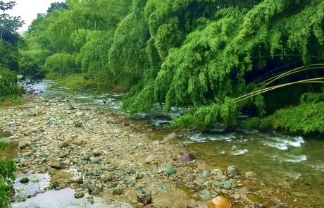
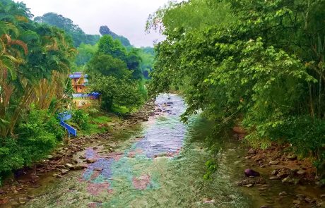
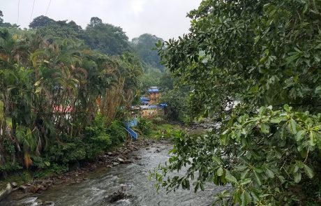
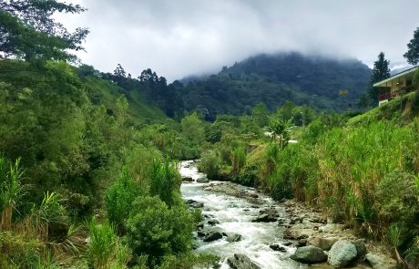
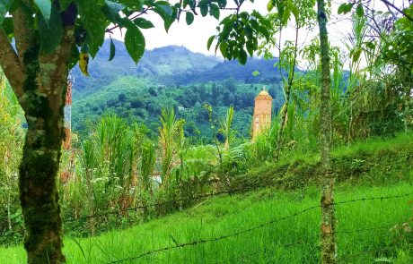
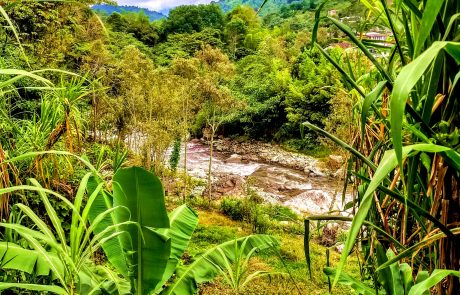
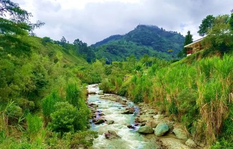
Along the way at one of the (barely marked) turnings for Pijao I came across a river and a charming cafe within view of it. Here are a few pics to get us started:
There’s a speck in the center of the first pic that may escape easy identification so let me help: it’s a fisherman. Doing fly fishing from what I could tell. Obviously he’s not after marlin or tuna. There must be a Spanish word for halibut but I’ll bet dollars to donuts nobody in the Coffee Triangle knows what it is. In this part of the world, far from the ocean and in the middle of mountains, it’s all about trout. Trucha in Spanish. Trucha this, trucha that until you find yourself saying under your breath, “Oy kindele, enough with the trucha already!” It’s never been fork-friendly in my estimation, being meager of flesh and far too bony to be worth the trouble it causes. But it’s the main game in town in the Coffee Triangle. I found the trees and water and the lovely sweeping forms of the bamboo (our old friend Guadua angustifolia) much more interesting than what could be brought to table from the chilly water. Since it was raining at the time I suggest the title for the trilogy of pics be “Water As Above, Water So Below.” That’s the truth of that little story.
Surprises abound when you do a road trip in Colombia and the jaunt to Pijao proved no exception. Much to my consternation I discovered that the main road to Pijao coming from the highway between Armenia and points south (e.g. Cali) was closed. The reason? None given. The answer is not far to seek, however, since there’s always one thing looming on local horizons: landslides. If you go out and about in the Coffee Triangle in the more mountainous areas you’ll come across one sooner or later. Fortunately Córdoba was just up the road from the river spot — it’s the Rio Verde River, by the way, in case you want to find it on the map — so I wended my way thence and took my chances on the secondary road from Córdoba to Pijao going straight through the mountains. In for a penny, in for a pound, that sort of thing.
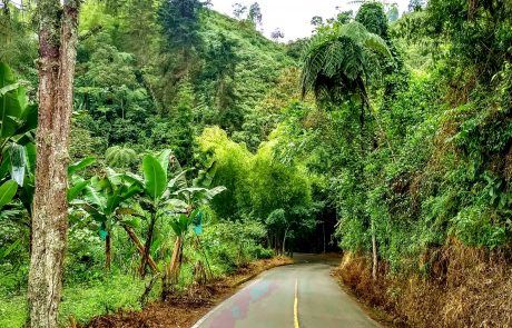
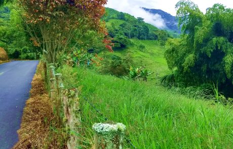
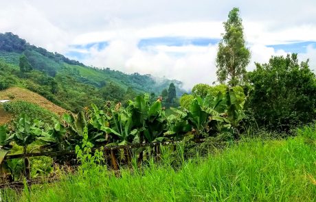
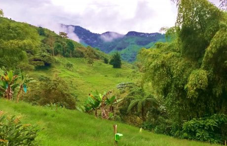
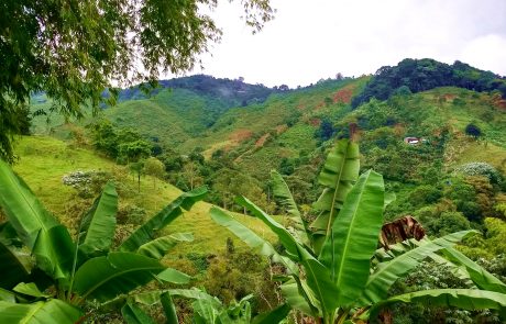
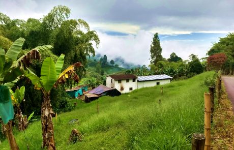
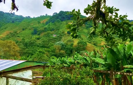
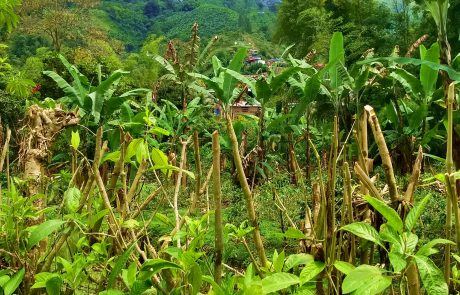
The road to Córdoba is lovely, as these two pics show:
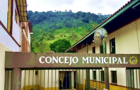
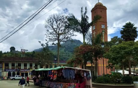
Córdoba is entirely on a tilt, from the point you enter until you leave. Its church on the main square is one of the few instances of architectural malfeasance I’ve seen in the Coffee Triangle. But life goes on there and a good gentleman on the main street was kind enough to point me toward the road to Pijao, so we needn’t examine the presence or absence of charms in the town, we’ll take the friendly locals as the benchmark of the place and keep moving.
The back road between Córdoba and Pijao turned out to be spectacular from the point of view of scenery, from the standpoint of driving it was white-knuckle time. Fortunately there were a few places to pull over on the narrow two-lane road, so I took advantage of them to survey the landscape and let the engine cool off. The Chevy Sail held true to its name and sailed up the mountainside, but its 1.3 liter engine needed the pause that refreshes a few times. It’s hard on a girl climbing continually in second gear, you gotta have a break once in a while, so I gave a girl a break whenever I could without risk of being ploughed into by someone coming around one of the switchback curves.
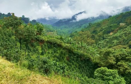
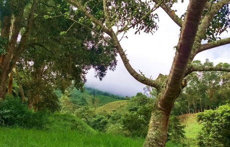
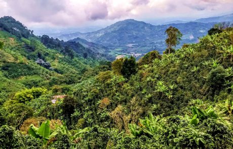
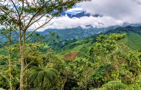
Disclosure time: the views from the Córdoba-Pijao backroad are among the highlights of the entire trip. I was more than happy to give the Chevy time to collect its wits because that gave me the opportunity to soak in the views of the mountain landscape. It’s phenomenal. Talk amongst yourselves, I’m too verklempt. 🙂
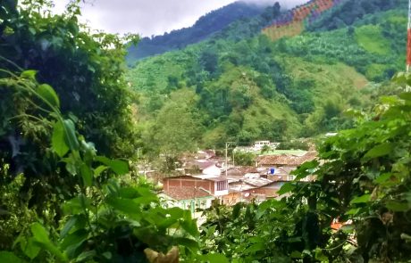
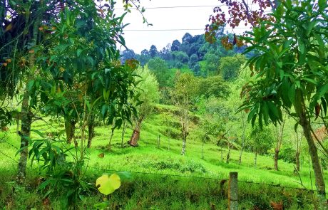
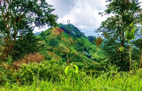
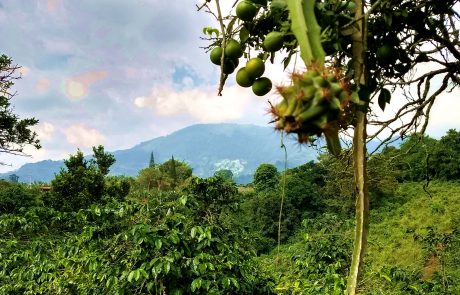
As you can see in the pics the day was not cloudless or sunny. But no matter, nothing can detract from the landscape. Over the space of about 5 miles I saw an enormous variety of vistas and perspectives, something that a mountainous landscape delivers in abundance. The next to last pic shows an orange tree in the foreground, something I would never have thought possible in the mountains. But it works just fine, there’s never any frost. Coming from a place where the growing season between killing frosts is three months if you’re lucky, finding oranges in high mountain terrain is nothing short of miraculous. It’s as close to paradise as I’m likely to get in this lifetime, I’m sure.
About halfway to Pijao there’s a small facility of some kind I couldn’t identify. It’s also a point for announcing to the world the environmental agenda Pijao has taken on itself. Here’s the information:
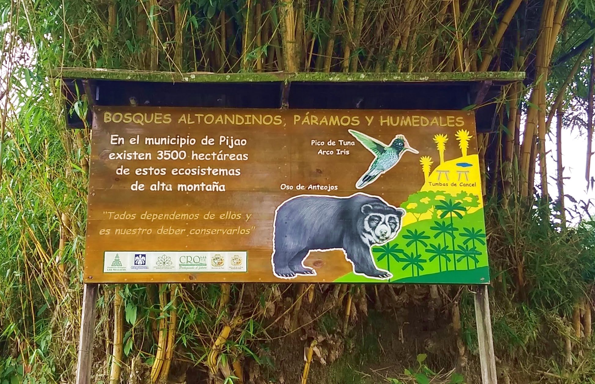
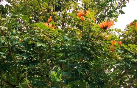
The basic jist of it is that this is high Andes forest habitat and Pijao has 3500 hectares (8,648 acres) of such habitats in its precinct. The bear is called in English the spectacled bear (Tremarchos ornatus) and the bird is the rainbow-bearded thornbill (Chalcostigma herrani). The text in quotes reads: “We all depend on them [the ecosystems] and it’s our duty to conserve them.” The view from the opening where the small building is sited is wonderful, looking out over the entire valley with Pijao nestled down in its basin. There was a flame tree in full bloom on the edge of the opening and wildflowers all round about, the perfect place to have a good pause while the Chevy cooled its jets. I could have stayed longer but the draw of the road pulled me forward into the town of Pijao itself. I’d seen plenty of Google Image pics and knew I had another landscape treat in store.
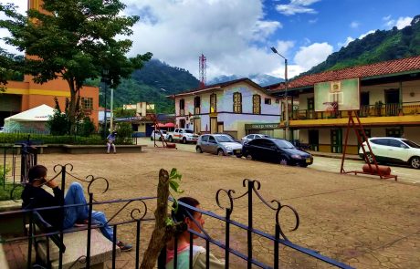
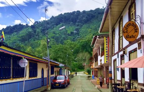
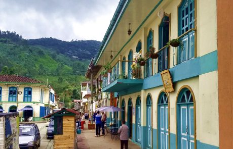
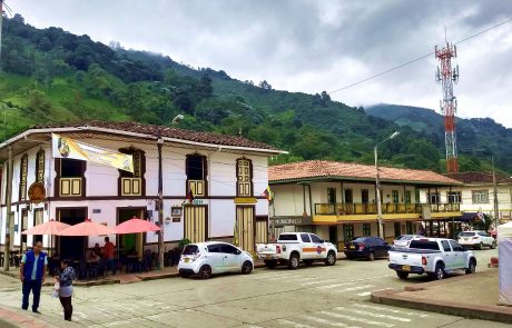
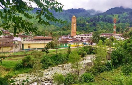
The Google Image pics of Pijao I saw left me thinking, “Oh wow, this looks like a Swiss village, I gotta go there!” And right I was. Pijao is the perfect answer of the Andes Cordillera Central to a village in Switzerland. The cows look a bit different and there’s no Matterhorn shooting up into the sky in the distance, but as I said, I’m not fussy.
Wikipedia falls flat on its face in English with regard to information on Pijao, so we’re going to the Spanish page (here) and I’ll do some translation:
Pijao se encuentra ubicado dentro de la región fisiográfica denominada Región Andina, en la subregión de la Cordillera Central, contando con tres tipos de paisaje: montaña, piedemonte y valle.
El paisaje de Montaña se encuentra al oriente del municipio, sector del eje de la cordillera, construida sobre rocas metamórficas del complejo Cajamarca donde predominan los esquistos verdes y se observan rasgos característicos de estructuras geológicas como la falla de San Jerónimo. El paisaje de Piedemonte se encuentra en la parte occidental del municipio, constituido por depósitos fluviovolcánicos, rocas ígneas y algunas con recubrimiento de cenizas volcánicas. El paisaje de Valle se presenta en el sector de Barragán, Los Balsos y Río Lejos, conformado por aluviones recientes de relieve relativamente plano.
[Pijao is located in the physiographical region called the Andes Region, a subregion of the Cordillera Central, which has three types of terrain: mountains, piedmont and valley.
The mountain terrain is to the East of the municipality, in the axis of the range, lying above metamorphic rock of the Cajamarca complex in which green schists predominate. The San Jerónimo fault is also observable in the terrain. The piedmont terrain is also in the eastern part of the municipality and includes volcanic riverine deposits, igneous rocks and some coverage by volcanic ash. The valley terrain is found in the sectors of Barragán, Los Balsos and Río Lejos, formed by alluvial deposits of recent origin that are relatively flat in relief.]
Looks like a whole lotta something’s been going on there — tectonic uplift, volcanic activity, weathering, it’s a geological partaay. I always find it fascinating to know something about what’s under the things I see — I can’t say the green schists leaped to my attention but it’s nice to know they’re there. Somewhere. It’s like knowing a friend’s birthday — you’d feel something was missing if you had no idea when it was. If you read my post on living with the geology around us, you know that I purvey geological information in the suavest manner possible. I could be shoving information your way of this type (webpage here):
Late Jurassic terrane collision in the northwestern margin of Gondwana (Cajamarca Complex, eastern flank of the Central Cordillera, Colombia)
Abstract
Medium-grade metabasites and metapelites from the Cajamarca Complex (Central Cordillera of Colombia) are in fault contact with the Jurassic Ibague batholith and show a penetrative foliation, locally mylonitic, suggesting intense dynamic–thermal metamorphism. The amphibolites are composed of calcic amphibole + epidote + plagioclase + quartz plus rutile + titanite + apatite + carbonate as accessory phases. Chlorite and albite appear as retrograde replacements. The metapelites are mainly composed of phengite + quartz + garnet + chlorite, plus epidote + albite + apatite + titanite + haematite as accessory phases. Bulk geochemistry of the amphibolites indicates basaltic protoliths with a mid-ocean ridge basalt (MORB) signature, although enrichment in the mobile large-ion lithophile elements compared to MORB suggests pre- and/or syn-metamorphic alteration by fluids. Peak pressure–temperature determinations for both types of rocks are similar, ranging 550–580°C and 8 kbar (approximately 26 km depth and an apparent geothermal gradient of 22°C/km). 40Ar-39Ar dating of amphibole from two amphibolite samples and one phengitic mica from a pelitic schist yielded plateau ages of 146.5 ± 1.1 Ma and 157.8 ± 0.6 Ma, and 157.5 ± 0.4 Ma, respectively. These Late Jurassic ages contrast with previously published (Permian)Triassic ages of metamorphism in the Cajamarca Complex. Taken together, our data indicate tectonic-driven burial of oceanic supracrustal sequences down to mid-crustal depths during Late Jurassic times and are best explained as the result of terrane collision-related metamorphism and deformation in a fore-arc/volcanic-arc environment of the active western margin of Gondwana rather than as a result of Jurassic thermal–metamorphic resetting of a (Permian)Triassic metamorphic sequence during intrusion of the Jurassic Ibague batholith. Our results represent the first report of Jurassic terrane collision tectonics involving supracrustal oceanic rocks in the northwestern margin of Gondwana in Colombia.
It’s riveting stuff, I’m about to hyperventilate. Gondwana! Wow! Too cool. But we’ve already established that we’re just after the pretty stuff, so let’s get to the pics. 🙂
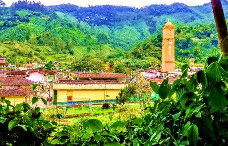
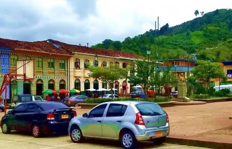
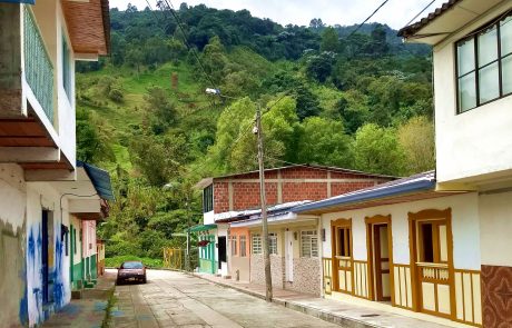
Quite the handsome little place, don’t you find? There are about four blocks of town in each direction before you run smack dab into hills. If you weren’t looking closely and there were a few more windowboxes with flowers in the picture, I could probably fake you out and say it’s Unter Lausenbuben near Plopperklappensee in Switzerland. But my momma raised me right so I’m not pulling any fast ones. It’s its own kind of beautiful and we don’t need those uppity Swiss telling us how to get that part right. That’s already figured out, obviously.
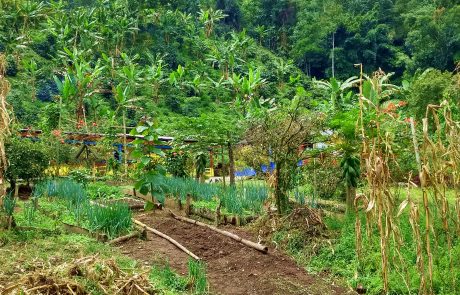
To the East of town over a bridge crossing the river you see a sign for a “Sendero Ecológico.” I was all tingly up and down the spine at the sight of it and headed in that direction as soon as I’d gawked at the town square for a while. Well, the “ecological trail” turns out to be a dirt road leading past some houses. So much for truth in advertising LOL. But it’s all good because it’s a lovely walk and I enjoyed it thoroughly despite being no wiser ecologically at the end of the jaunt than I was at the beginning. Here are the pics:
As you can see it’s quite cultivated for an ecological trail, but hey, folks gotta live, right? I found the garden in Pic 5 very interesting. There’s a pineapple in the back that’s probably not too discernible, the camera’s eye being far less fine than mine. What a delight to see things like pineapples and oranges growing in what looks like Switzerland. For us Americans pineapples mean Hawaii and men wearing shirts sporting colors that do not occur in nature. Oranges mean Florida and sweltering heat with palmetto bugs big enough to carry you off if you’re not nailed down. Here you have both items in a pristine mountain landscape with a river running through it. I call that paradise.
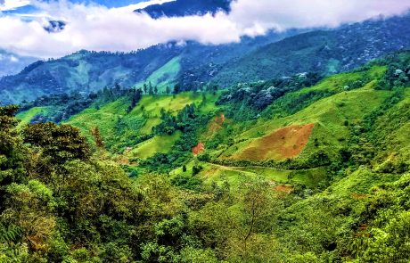
Since as I mentioned the main road from Pijao to the highway was closed it was back to the same road I came over on. In the mountains you’re on a completely different road if you change directions — as far as the views go, anyway. Here’s what I saw on the way back to Córdoba:
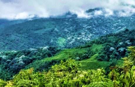
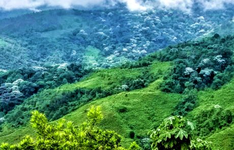
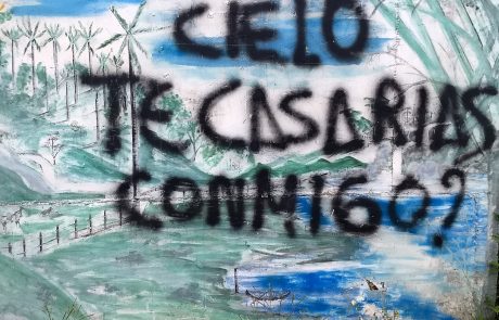
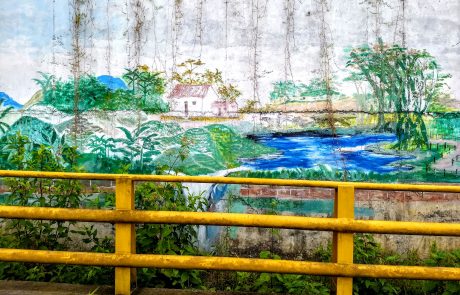
The sight of the yarumo blanco trees going up the side of the mountain gave me tinglies. I don’t know why I love that tree species so much but the sight of it lifts my heart like good news from above. The street art is out in the middle of bloody NOWHERE, adorning a small bridge across a stream, and just look at it, as pretty as you please. Colombians seem to be big on murals and they obviously have a lot of talent for it, so why not? It’s lovely to come across such things in one’s comings and goings. The graffiti in the pic says, “Darling will you marry me?” The Spanish word “cielo” means both sky and heaven, and in colloquial usage the same as “honey” or “sweetheart.” So I chose to take the message as coming from the mountains and directed to the sky (el cielo). Obviously the answer is I DO! since the clouds are swirled down around the mountaintops. It’s a landscape soap opera without the bad music. What’s not to like about that?
The drive back to my coffee farm hotel outside Calarcá was pleasant but you’ll have to take my word for it because when I’m behind the wheel I can’t take pics. Finally, after wending my way through Armenia and getting lost multiple times, I got back to the hotel. So now it’s time to look at coffee country up close and personal.
The “finca-hotel” is a modern phenomenon designed to give visitors the experience of living on a coffee farm without having to do any of the backbreaking work. In that regard it’s great — the last thing I’d want to do on a vacation is hang by my toenails to a slope pitched at 45 degree (minimum) while filling baskets with coffee berries as the basket gets heavier, and heavier, and heavier …
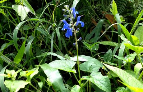
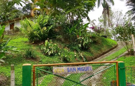
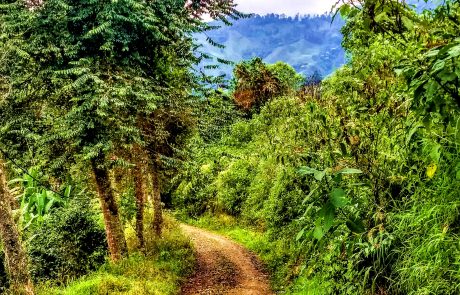
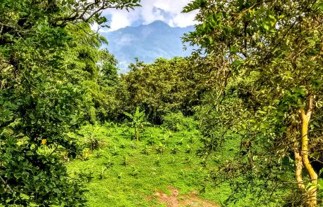
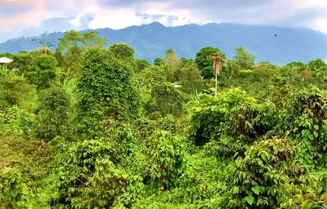
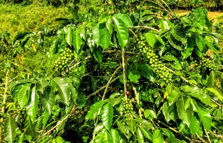
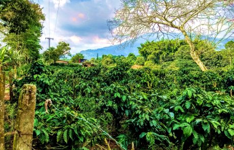
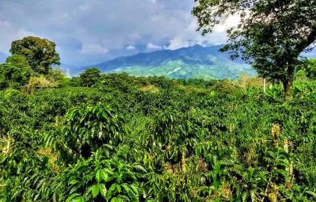
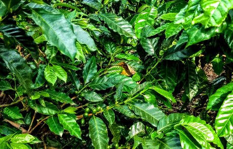
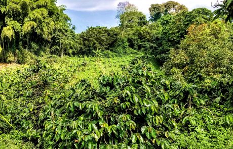
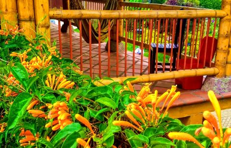
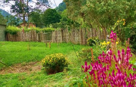
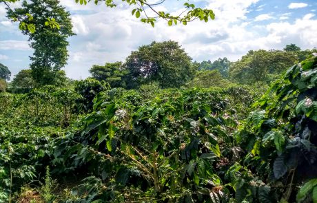
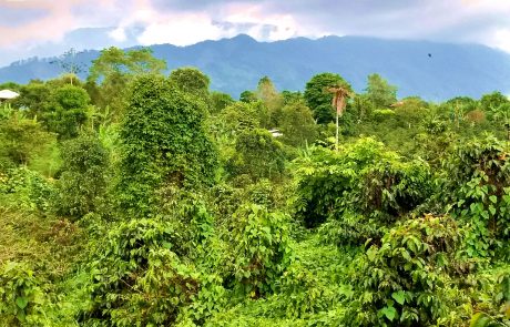
But we’re tourists so there’s none of that dreary business. We’re on vacation (permanent in my case) and we’re out for a good time. Just the pretty stuff. There’s plenty of that at the coffee farm hotel, rest assured:
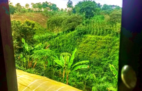
Who knew that coffee plants are so gorgeous? Shiny, deep green leaves, they make me think of Christmas, not of Juan Valdez. The next to last pic is the view I had from my room. This stay on the coffee farm was the first opportunity I’ve had since my arrival to hear the countryside. I grew up in the countryside, I know what it sounds like where I’m a native. I finally, FINALLY had the opportunity to hear Colombia’s countryside, and it’s a sweet sound. There are more chirpy things than where I come from — cicadas, etc. — but the birds start singing just before dawn like they do at home and the wind makes the same swooshy sound passing through the trees, although they’re completely different from the ones I’m used to hanging out with in the Pacific Northwest. The stay was a delight for all the senses, but particularly for the ears. I’m pummelled day and night by traffic noise from one of the busiest streets in Pereira in my apartment, so the sound of Nature’s voice at the coffee farm was too sweet to the ear for telling. And look how lovely everything is. It’s paradise of a sort, no doubt about it.
So there we have our quick tour through Quindio. I enjoyed the sights immensely and could go back again and again. That’s when you know you’ve found the good stuff — once isn’t enough, twice is nice, more times even nicer. That’s the way it’s supposed to be.

